Have a nice summer! General meetings will resume in September.
March Speaker Explains How Toledo Almost Ended Up In Michigan
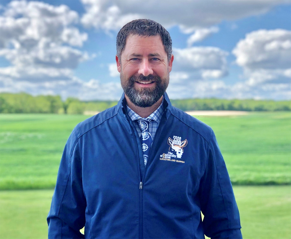
Dr. Joseph D. Fenicle, PS, program director and full-time assistant professor at the University of Akron’s award-winning surveying/mapping program, will explain the geographical errors that led to the protracted and heated dispute in the 1800s between the Michigan Territory and the State of Ohio over the “Toledo Strip” when he speaks to Hudson Heritage Association on March 12.
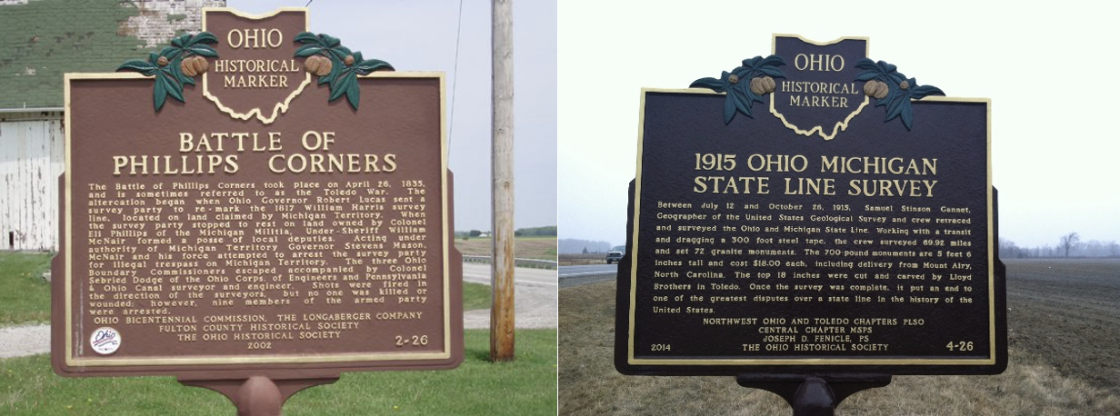
At the time, the Maumee River and the growing town of Toledo were seen as valuable players in the canal-driven economic growth that enveloped the western United States. Both Michigan and Ohio laid claim to the Strip based largely on an inaccurate map that misplaced the southern tip of Lake Michigan too far north to line up with the western edge of Lake Erie. Disputes over ownership escalated in the early 1800s, eventually resulting in what became known as the “Toledo War” in 1835. Dr. Fenicle will discuss that event, the circumstances leading up to it and how that map almost changed the border between Michigan and Ohio we now take for granted.
He will also discuss the work of Samuel Stinson Gannett, a geographer for the US Geological Survey and co-founder of the National Geographic Society. Gannett was responsible for a number of other important geographic surveys, including determining the border between Maryland and West Virginia, and the border between Texas and Oklahoma. In 1915, he led a crew that retraced and confirmed the Ohio/Michigan border – considered one of the most contentious disputes over a state line in the history of the United States.
Before joining the University of Akron, Dr. Fenicle was the chief surveyor with the Office of the Fulton County Engineer in Wauseon, Ohio. He also worked with J.C. Andrus & Associates in Toledo, where he specialized in boundary retracement and remonumentation in Ohio and Michigan. He has served as an adjunct faculty member with Owens Community College, as well as the University of Toledo. He is a long-time member of the remonumentation peer group for Lenawee and formerly, Monroe County Michigan. He writes, researches and speaks on various surveying-related topics and also runs a national business specializing in continuing professional development for land surveyors as well as Hudson Land Surveying, which he operates when not teaching. Dr. Fenicle received his AAS in GIS/GPS from Hocking Technical College, a BS in surveying/mapping from the University of Akron, and a MS and a doctorate from the University of Maine. He became licensed in Ohio in 2002 and in Michigan in 2004. He obtained his FAA license in 2019. He relocated from Michigan to Ohio in 2020 and resides in Hudson with his wife of over twenty years and three teenage boys who help him survey.
HHA’s March 12 program, to be held at Barlow Community Center, begins at 7 p.m. and is free and open to the public. Refreshments will be served following the presentation.